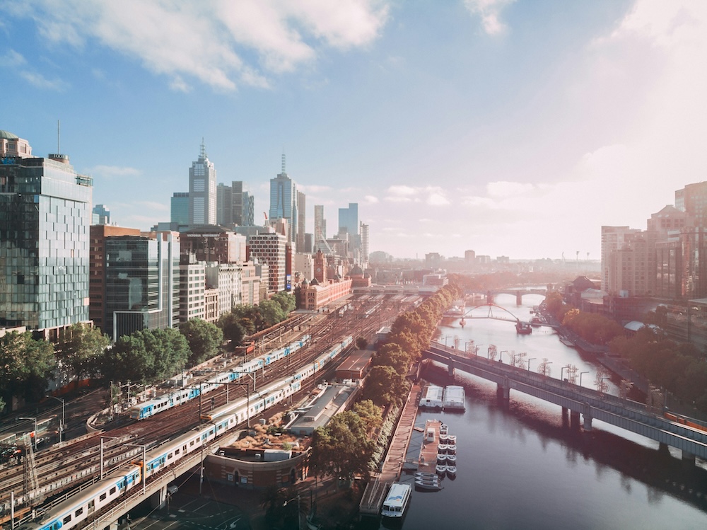
In the City North precinct of Melbourne, we compiled data to offer users a three-dimensional view of the current constructed, regulatory, and natural landscapes. Our tool, Canvas, integrates the maximal construction scope allowed by Melbourne's development regulations, employing this framework to fill the space with automatically generated building models. This allows for the new structures to be evaluated in the context of the existing environment, facilitating the analysis of their effects on local infrastructure and services.
Local zoning codes define the permissible uses for specific land parcels, imposing limitations on building designs such as height restrictions, required setbacks from property lines, the extent of shadows cast on nearby parks at certain times, and the designated uses of the building, whether they be residential, commercial, or mixed-use.
